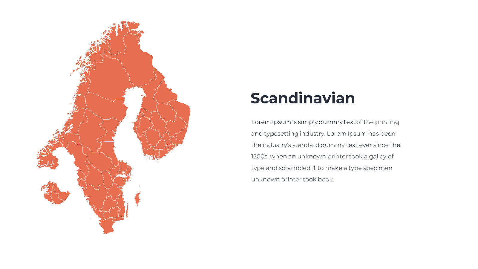
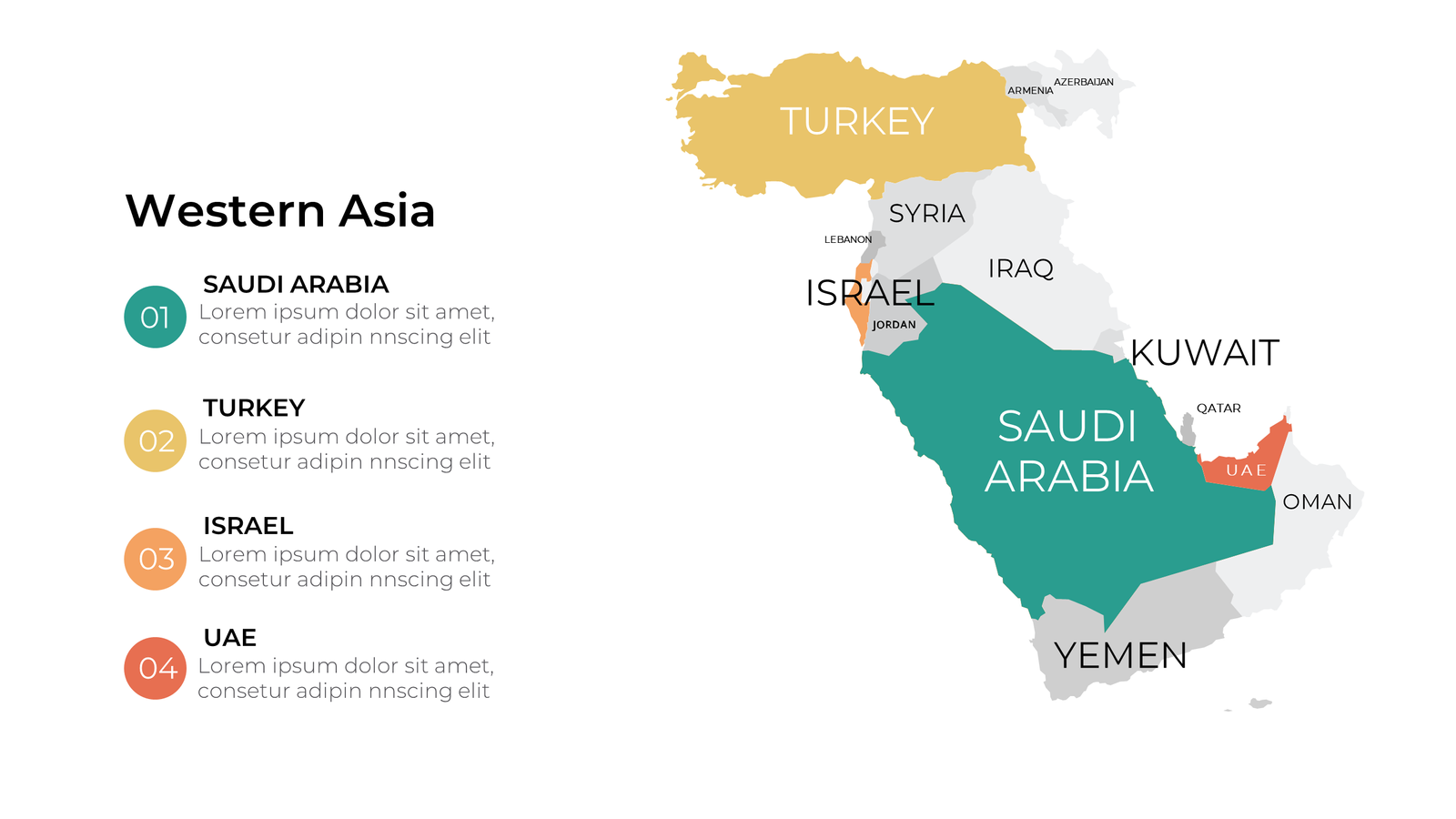
An editable Canada Map PowerPoint template is a powerful tool for visualizing and communicating information about a particular country. This template can be used for a variety of purposes, including sales projections, business expansion, and market analysis.
Brief about Canada Map
Canada is a federal country that is divided into 13 provinces and territories, each with its own government and unique culture and history. The provinces are: Alberta, British Columbia, Manitoba, New Brunswick, Newfoundland and Labrador, Nova Scotia, Ontario, Prince Edward Island, Quebec, and Saskatchewan. The territories are: Northwest Territories, Nunavut and Yukon. These provinces and territories are each divided into smaller administrative divisions, such as cities and towns. Some of the major cities in Canada include Toronto, Montreal, Vancouver, Ottawa, and Calgary. Each province and territory has its own capital city, such as Toronto for Ontario, Quebec City for Quebec, and Victoria for British Columbia. Canada is a vast country with a wide range of landscapes and cultures, from the Rocky Mountains and Prairies to the Atlantic and Arctic regions, it offers a unique and diverse experience to its inhabitants and visitors
Key Features of editable Canada Map PPT Template
One of the key features of this template is its ability to be fully edited and customized to suit the specific needs of the user. This includes the ability to add and remove counties, cities, and other geographic locations as needed.
Additionally, the template includes a variety of infographic designs and color palettes that can be used to highlight important data and information.
The template also includes a wide range of data visualization options, such as bar charts, line graphs, and pie charts, that can be used to display sales figures, market share, and other important business metrics. This allows users to easily communicate complex information in a clear and visually appealing way.
Where can you use this Editable Country Map Powerpoint Template
Another benefit of this template is its ability to be used for sales projections and business expansion. The ability to easily add and remove counties and cities, as well as to customize the color palette, makes it easy to identify potential market opportunities and to develop strategies for growth. This template can be used to create detailed sales projections and to identify key areas for expansion.
In addition, this template can be used for a variety of other purposes, such as market analysis and research. By incorporating data from a wide range of sources, such as government statistics, industry reports, and customer surveys, users can gain a deeper understanding of a particular market and identify key trends and patterns.
Overall, an editable country map PowerPoint template is a powerful tool that can help users to communicate information about a particular country in a clear and visually appealing way. Whether you are a sales professional, a business owner, or a market researcher, this template can help you to make data-driven decisions and to achieve your goals.
Download This Template
- To download this editable country map template, click on the provided link which will take you to the template's download page.
- Once the template is downloaded, open it in PowerPoint or your preferred presentation software and start editing the map to suit your specific needs and requirements.
- Use the template to create visual representation of your data, such as sales projections, business expansion plans, market analysis, research, etc.


